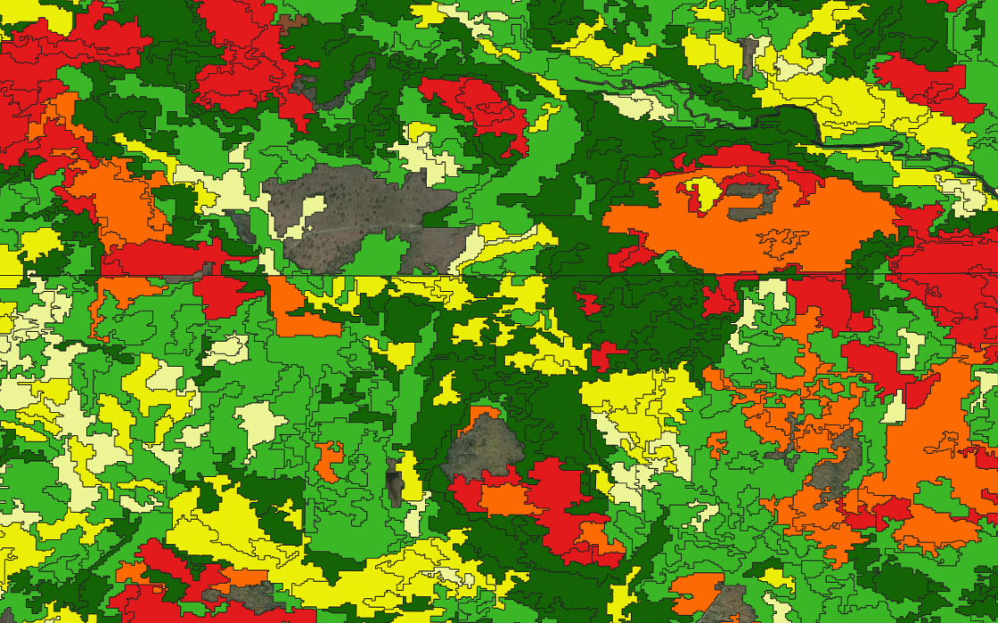
Stratification for forest inventory

Save on time and cost of forest inventories.
ForINT stratifies your forest to better inform field plot placement to increase accuracy while reducing the number of field visits required. By starting with the stratification as opposed to only utilizing a plot-based method, ForINT provides a wall-to-wall inventory throughout the landscape.
ForINT can provide also provide delineations for:
- Habitat typing
- Sensitive area reserves
- Conservation projects
- Wood basket analysis
ForINT provides a more robust set of stratification criteria that:
- Is applied with consistent, repeatable methods
- Offers complete wall-to-wall coverage
- Enables rapid turn-around
GSI’s ForINT saves time and money by taking care of forest stratification for you, allowing your team to focus their field data collection on fine-tuning a complete remote sensing inventory.
NOTE: Stratified forest maps are a feature of ForINT NE, coming soon; please contact us to discuss similar needs in other regions