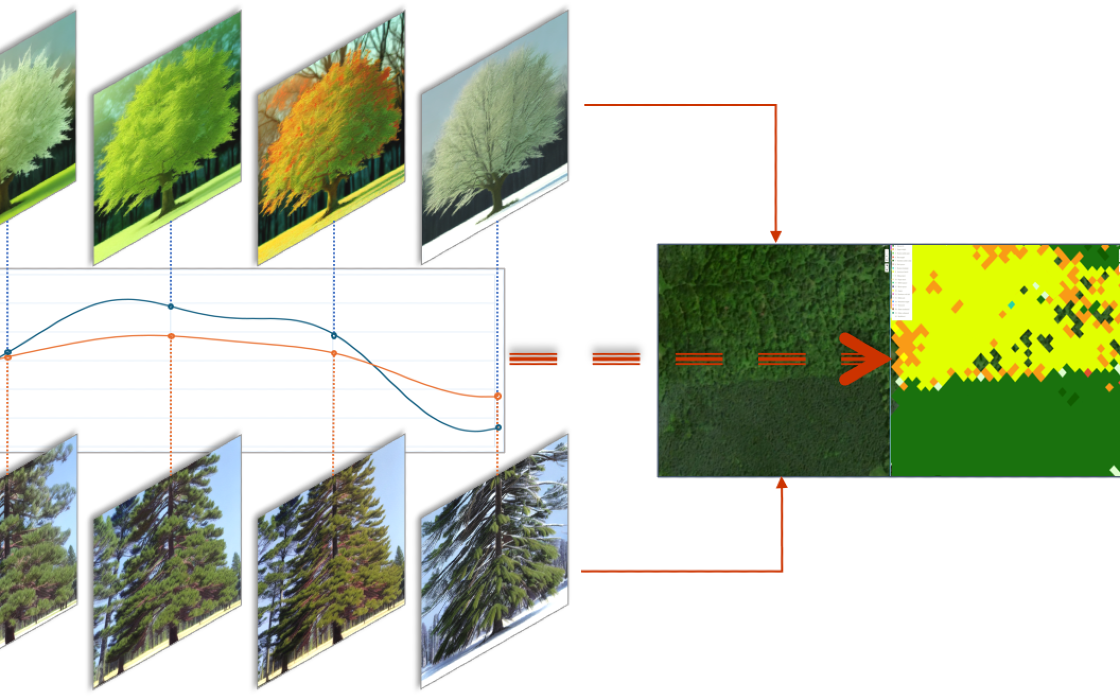
Global Surface Intelligence (GSI) harnesses the power of machine learning and remote sensing to produce forest inventories from time series analysis of satellite data. One remote sensing image in the winter can be used to differentiate between hardwood and softwood species - but a time series showing the weekly changes in color can be used to show the mix of individual species.
GSI’s use of supercomputing unlocks a tremendous economy of scale, making highly accurate and detailed analyses more accessible, as typical projects may cover 100,000 to millions of acres.

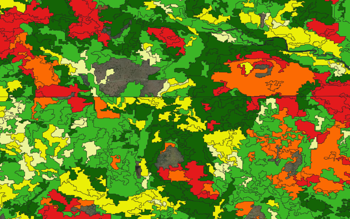
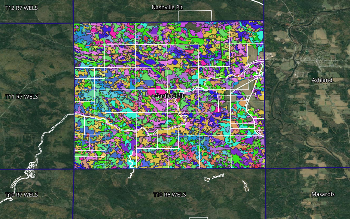
GSI’s time series analysis produces forest data on three dimensions: species, height, and canopy closure. These datasets are then combined to characterise areas of consistent forest, known as stands. Once again, satellite data plays an important part in drawing the stands at a landscape scale. Groups of similar stands are combined into types, or strata - each stand has a stratum label for species mix, height, and density.

GSI builds a profile for each forest type by working with data from the national forest inventory FIA program ground survey, run by the U.S. Forestry Service. The FIA program is truly world class and provides extremely accurate and detailed plot data - an excellent basis for a stratified forest inventory. The forest profiles are stratum-level averages of the FIA plot data within the map of forest stands. This is only possible at scale to protect the exact FIA plot locations - something that our landscape-scale approach is uniquely positioned to do.
The end result is a forest stratification that provides a map of forest stands, labelled by type, as well as a complete set of data describing each forest type.