Plantation Insights
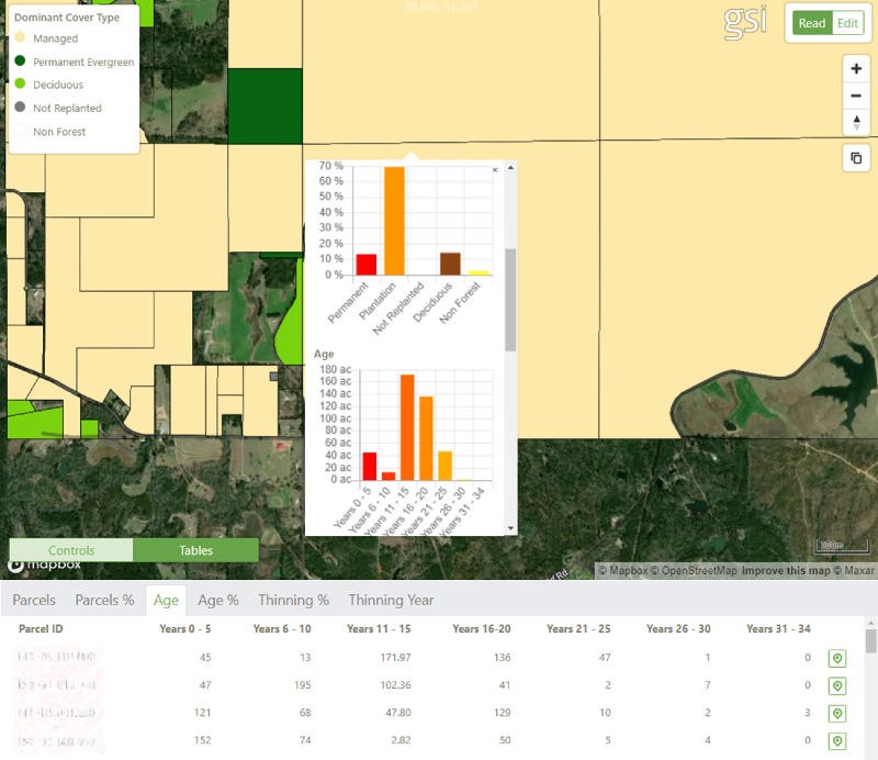
ForINT South is an essential tool for prospecting and due diligence of properties. Search for properties across the wood basket and explore their forest content. At the property level we supply:
- Forest type - plantation evergreen, hardwood, permanent evergreen, non-forest
- Plantation age - years since last clearfell
We also summarise thinning activities, and providing property estimates per age class of:
- Years since last thinning event
- Percentage acres thinned
Color properties by age or forest type using the ForINT South Portal

Detailed Maps
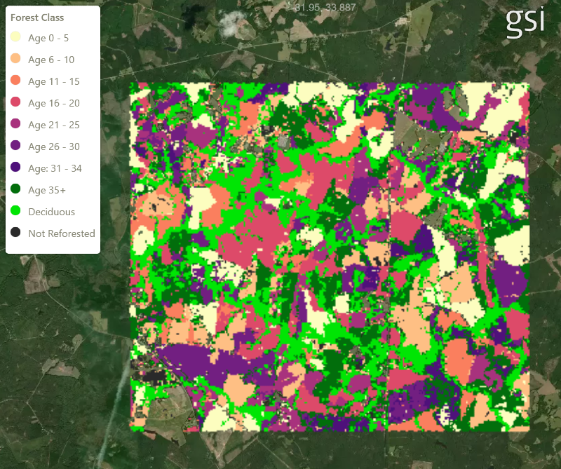
ForINT South provides detailed maps of the forest on each property.
As part of a due diligence process for investment decisions, these maps can help assess stand lists provided by sellers.
Plantation age is annualized based on a depletion history going back to 1988.

